Overview
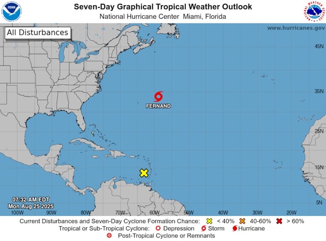
- As of late Monday, Fernand was about 425 miles east-northeast of Bermuda with sustained winds near 60 mph, moving north-northeast around 13 mph, according to the National Hurricane Center.
- The storm is forecast to remain over open water, begin weakening, and transition to a post-tropical system by Wednesday with no watches or warnings in effect.
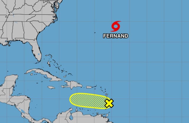
- A tropical wave that crossed the Windward Islands entered unfavorable conditions, with NHC assigning a 10% chance of development over two to seven days and some outlets reporting a later reduction to zero.
- The NHC’s outlook indicated no additional areas of concern in the Atlantic for at least the next week.
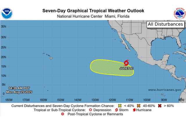
- In the Eastern Pacific, Tropical Storm Juliette formed as the season’s 10th named storm and is expected to stay over the open ocean without coastal alerts.


