Overview
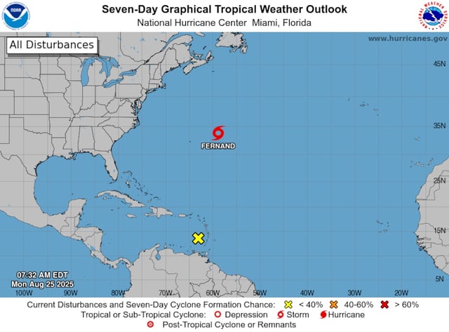
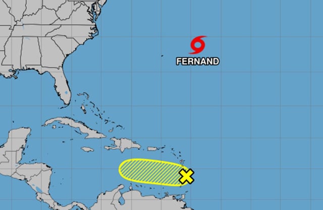
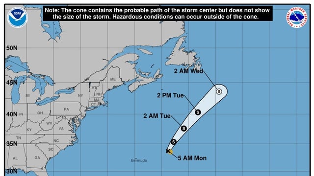
- Tropical Storm Fernand was about 360 miles east-northeast of Bermuda early Monday with maximum sustained winds near 50 mph, moving north-northeast at roughly 12 mph.
- National Hurricane Center guidance keeps Fernand well east and northeast of Bermuda over open water with no hazards affecting land.
- A tropical wave crossing the Windward Islands has shifted into a less favorable environment, and the NHC pegs its development odds at about 10% over the next two to seven days.
- Gusty winds may linger near the Windward Islands as the disturbance weakens, but significant organization is not anticipated at this time.
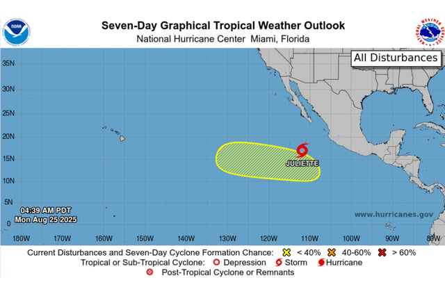
- Broader monitoring continues as NOAA’s updated outlook calls for 13–18 named storms this season, and the NHC is also tracking Pacific Tropical Storm Juliette with no land impacts noted.