Overview
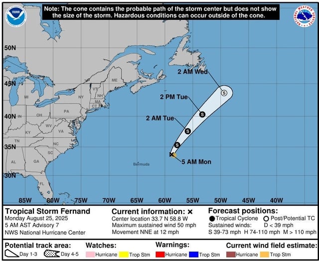
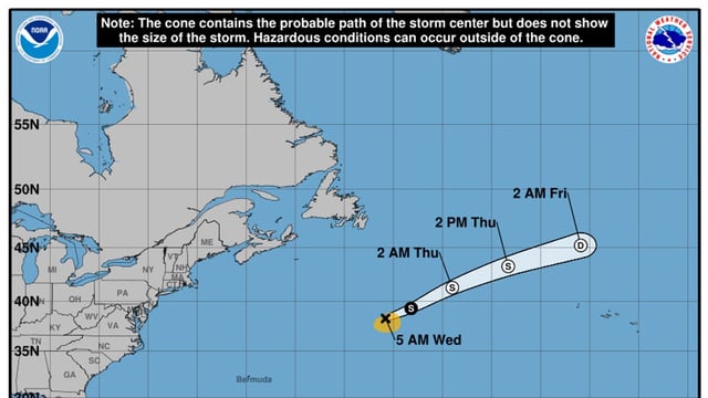
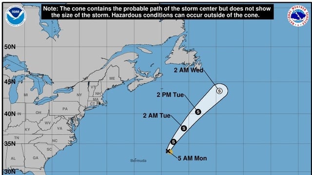
- Tropical Storm Fernand was about 590 miles south-southeast of Cape Race, Newfoundland, early Wednesday with 45 mph winds and is forecast to turn post-tropical by Wednesday night and fade into a trough by Thursday night with no land threat.
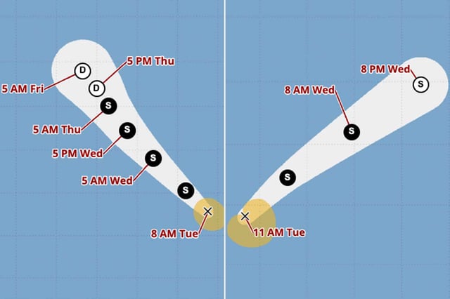
- Tropical Storm Juliette, roughly 570 miles west of the southern tip of Baja California on Wednesday morning, had 50 mph winds and is expected to degenerate into a remnant low by Thursday with no impacts to land.
- The National Hurricane Center reports no coastal watches or warnings for either storm as both systems remain over open ocean.
- AccuWeather and NHC outlooks point to a quiet stretch across the Atlantic through the first week of September, with the potential for increased activity in the second week.
- Fernand is the sixth named storm of the Atlantic season and Juliette the tenth in the Eastern Pacific, with NOAA projecting up to 18 named storms in each basin this year.


