Overview
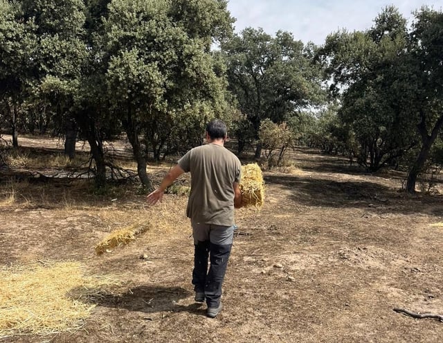
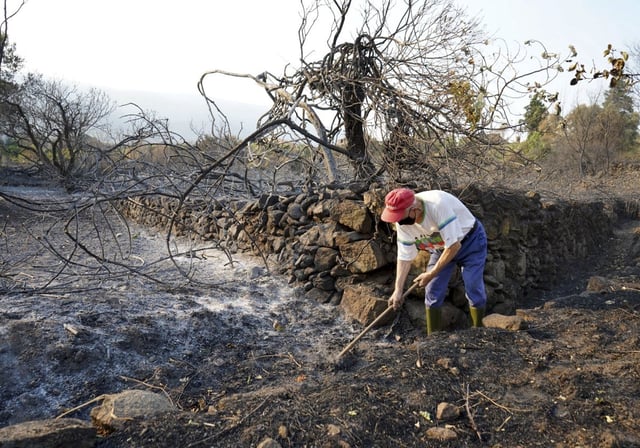
- EFFIS/Copernicus estimates indicate 362,473 hectares burned in Spain between August 1 and 21, far exceeding some regional tallies.
- Galicia, Castilla y León and Extremadura are the most affected regions, with satellite figures placing roughly 158,000, 150,000 and 45,000 hectares burned, respectively.
- In Galicia, the Xunta reports 96,706 hectares burned since July 1, while EFFIS maps show 163,251 hectares, reflecting methodological differences in what land types are counted.
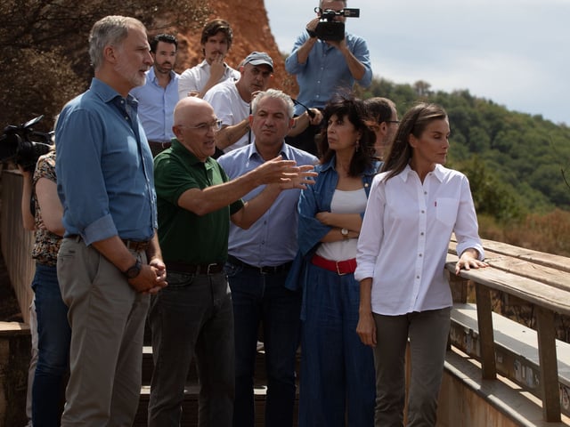
- Felipe VI and Queen Letizia met residents and local officials in Sanabria (Zamora) and Las Médulas (León), where surrounding landscapes were heavily burned but the core area near the Roman mines was reported largely spared.
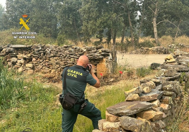
- Political friction over 'zona catastrófica' coverage escalated as Madrid sought to extend the designation to more municipalities, while the central government’s delegate said most were already covered except Aranjuez, which could be added in a follow‑up decision.