

Overview
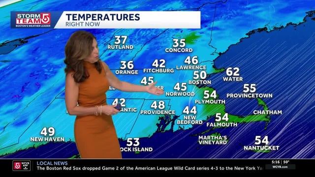
- Thursday stays sunny and cool with highs mostly in the low to mid-60s, and coastal winds have eased to roughly 10–15 mph.
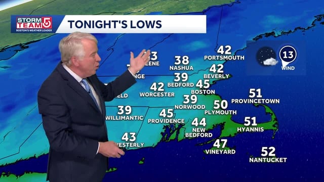
- Frost advisories and some freeze warnings are posted for inland higher elevations and parts of Vermont and New Hampshire as lows dip into the 30s.
- Hurricane Imelda passed near Bermuda overnight and is now moving away and weakening, but elevated surf and rip-current risk continue along the New England coast.
- Temperatures rebound quickly Friday, climbing into the 70s this weekend with many spots near or above 80 degrees on Sunday and into early next week.
- Forecasts keep the region dry through at least early next week, with the next chance of showers around Wednesday and forecasters watching elevated fire-weather risk.