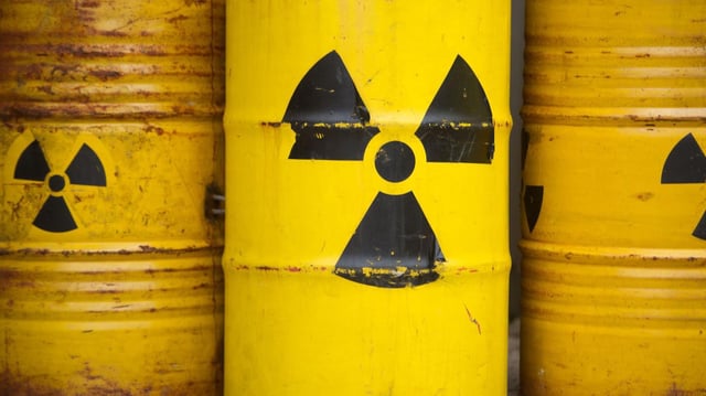
Overview
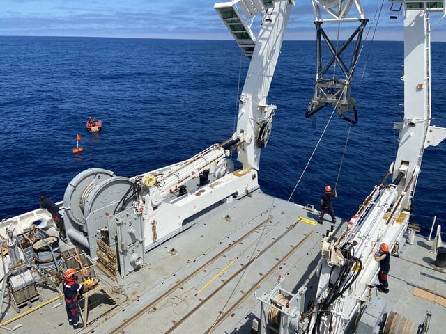
- The 21-member crew aboard L’Atalante has geolocated and mapped more than 1,000 low- to medium-level nuclear waste barrels in the Westeuropean Basin at depths of 3,000 to 5,000 meters.
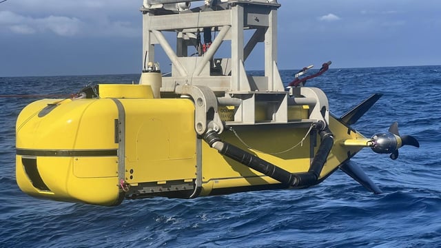
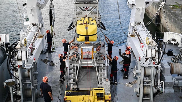
- Autonomous submersible Ulyx is capturing 3D imagery and sonar data to pinpoint barrel positions and guide targeted sampling operations.
- Researchers have begun systematic collection of water, seafloor sediment and marine organisms to determine ecological impacts around the dumped containers.
- Initial assessments are underway to evaluate whether ageing barrels are releasing radionuclides into surrounding sediments and biota.
- The four-week survey, operating under the international treaty that banned ocean dumping in 1993, seeks to fill gaps in historical records and guide future deep-sea monitoring efforts.