Overview
- Western and southern regions are forecast to reach about 30–32°C on Tuesday and Wednesday before the pattern breaks.
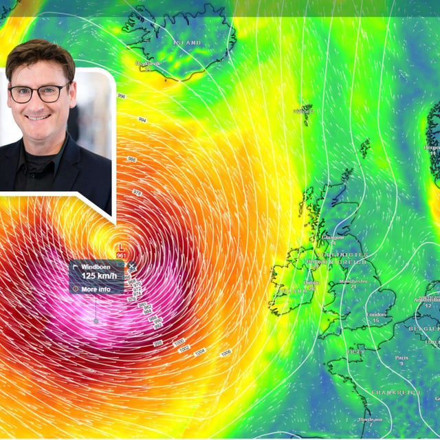
- Thunderstorms are expected to arrive from the southwest Tuesday night into Wednesday, spreading across the country with heavy rain, hail and strong gusts.
- Meteorologists highlight a Wednesday focus for severe cells in Rheinland‑Pfalz, Saarland, Baden‑Württemberg and Hessen.
- A cooler turn follows, with highs near 20–27°C by Thursday and a more unsettled, wetter weekend; some forecasters expect a drier start to September.
- The swing follows rare August ground frost early Monday, including −1.6°C at Burgwald‑Bottendorf, underscoring the rapid contrast.


