
Overview
- Forecasters expect the storm to stay hundreds of miles offshore yet drive 20-foot or higher surf over weakened dunes on the Outer Banks.
- The evacuation order covers Hatteras and Ocracoke south of Oregon Inlet, while northern towns such as Nags Head and Kill Devil Hills are not included.
- In Rodanthe, more than a dozen homes have been lost since 2020, and officials say at least two unoccupied houses could be claimed if waves reach predicted strength.
- Prior breaches from Hurricanes Isabel in 2003 and Irene in 2011 cut new inlets and required two months of ferry service, highlighting the risk of prolonged disconnection.
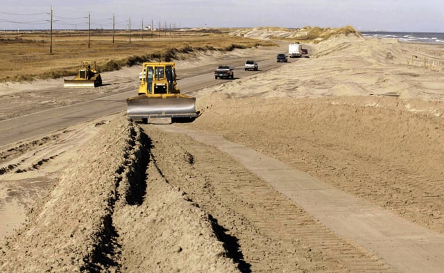
- Maintaining access has cost the state over $1 million annually in the 2010s plus about $50 million in post-storm repairs, even as Dare County tourism generates roughly $2 billion a year.