Overview
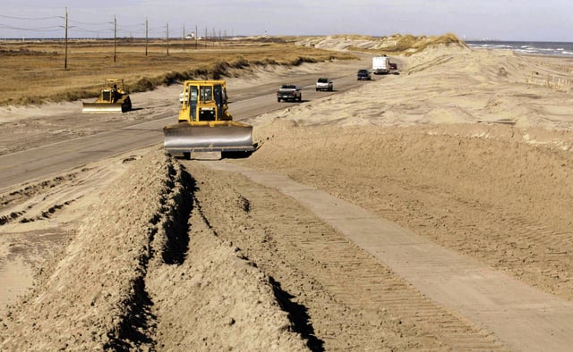
- Officials directed residents and visitors to leave Hatteras and Ocracoke as forecasts point to NC 12 being torn up in multiple spots, risking isolation for days or weeks.
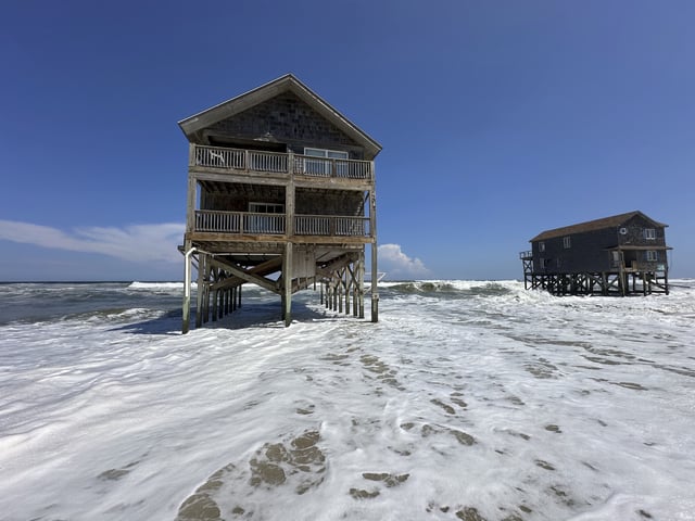
- Hurricane Erin is projected to remain hundreds of miles offshore, yet 20-foot or higher waves are already crashing over vulnerable dunes along the barrier islands.
- Two unoccupied oceanfront houses in Rodanthe are perched in the surf and appear at imminent risk, following at least 11 nearby home collapses since 2020, according to the National Park Service.
- Past storms such as Isabel in 2003 and Irene in 2011 cut new inlets that required weeks of ferry service, underscoring how a single damaged roadway can sever access.
- NCDOT spent over $1 million annually in the 2010s to maintain NC 12 and about $50 million on storm repairs over the decade, even as Dare County tourism generates roughly $2 billion a year and costly options like $40 million beach nourishment in Rodanthe are debated.