Overview
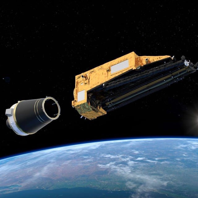
- The European Space Agency's Biomass satellite was launched from Kourou aboard a Vega-C rocket and will operate at an altitude of 666 kilometers.
- Biomass will use a novel radar instrument to penetrate forest canopies, creating 3D models to measure forest mass and carbon storage.
- The mission aims to clarify how forests contribute to the carbon cycle, addressing uncertainties in global warming predictions.
- Over the next 5.5 years, the satellite will conduct six global surveys, producing high-resolution biomass maps every nine months.
- Forests, covering one-third of ice-free land, lost an area nearly the size of Latvia in 2023, highlighting the urgency of the mission.