

Overview
- Germany’s weather service warns of thunderstorms from Wednesday afternoon, with the highest risk in Baden‑Württemberg, Bavaria, Rheinland‑Pfalz and Saarland, bringing Starkregen, hail and gusts up to about 70–80 km/h.
- Local downpours could deliver roughly 20–40 liters per square meter in a few hours, with the DWD flagging the potential for multi‑hour heavy rain overnight into Thursday.
- Model guidance shows extreme rain on the Alpine south side, especially in Switzerland’s Ticino at 100–300 l/m² on Thursday, with flash‑flood risk extending in weaker form to the German Alpine north side.
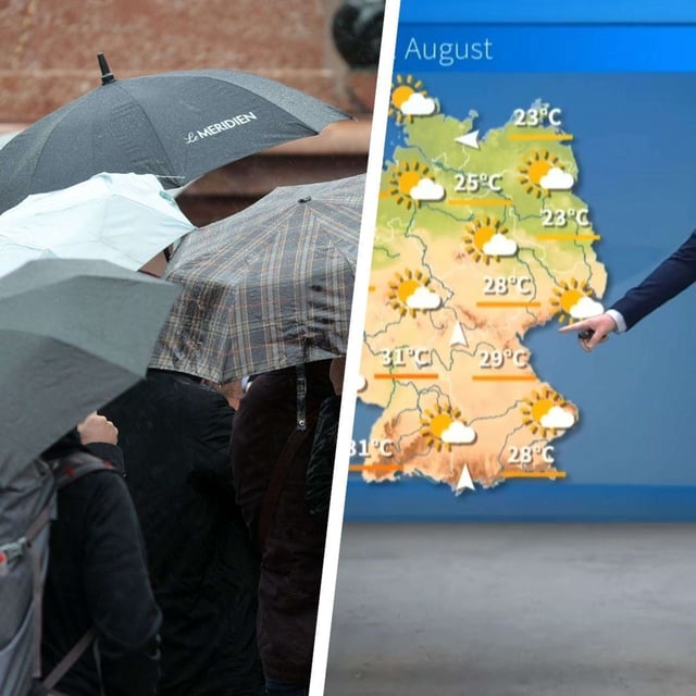
- After a brief heat spike to around 29–32 °C in parts of the west and south, temperatures drop on Thursday to roughly 18–25 °C with a cooler, wetter maritime flow persisting into the weekend.
- Bavaria faces storms especially north of the Danube and along the Alps, Franken may see unwetterartige Gewitter overnight, while NRW stays less affected initially before showers and isolated storms arrive later.