Overview
- As of early Tuesday, the hurricane was about 750 miles south-southeast of Cape Hatteras and is forecast to pass east of the Bahamas before tracking between the U.S. coast and Bermuda midweek as its wind field expands substantially, according to the National Hurricane Center.
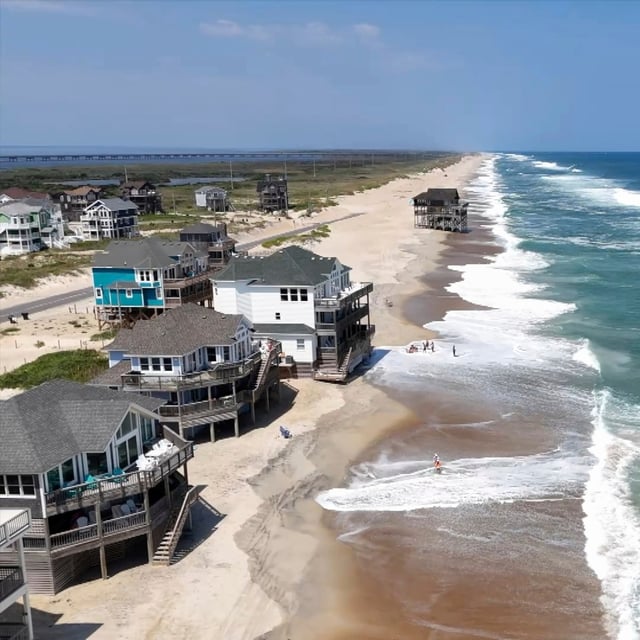
- Dare and Hyde counties ordered evacuations for Hatteras and Ocracoke, with a storm surge watch from Cape Lookout to Duck calling for 2 to 4 feet of inundation and a tropical storm watch from Beaufort Inlet to Duck including Pamlico Sound.
- Life-threatening surf and rip currents are expected from Florida through New England, with the Outer Banks under high surf advisories and destructive breaking waves of roughly 10 to 20 feet in the surf zone; beaches from the Carolinas to New Jersey have posted bans and red flags after dozens of rip-current rescues.
- Erin’s outer bands produced torrential rain, landslides and widespread power outages in Puerto Rico, while the Turks and Caicos and parts of the Bahamas remained under tropical storm alerts and reported suspended services and port closures.
- Forecasters are also watching two Atlantic disturbances with about 60% and 30% seven-day odds of development, including a system that could reach the Leeward Islands around Friday.

