
Overview
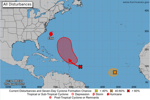
- Erin remained a Category 2 hurricane with sustained winds near 105 mph about 200–210 miles east-southeast of Cape Hatteras, moving north-northeast around 17 mph as it begins to pull away.
- Outer Banks impacts persisted as waves breached dunes and flooded NC Highway 12, prompting closures and cutting Ocracoke Island’s access to its ferry terminal.
- Tropical storm warnings covered the North Carolina and Virginia coasts, with storm surge inundation of 2 to 4 feet possible in the Outer Banks and lower totals extending north into the Mid-Atlantic.
- Life‑threatening rip currents and high surf forced swimming bans from the Carolinas to New York, with New England coasts facing 10–20 foot waves and continued coastal flooding risk at high tide.
- The National Hurricane Center forecasts gradual weakening and a transition to a post‑tropical system by the weekend, while monitoring additional Atlantic disturbances for potential development.