Overview
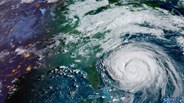
- Hurricane Erin remained a Category 2 storm with 105 mph winds early Thursday, located about 205 miles east-southeast of Cape Hatteras and moving north-northeast at 17 mph.
- Forecasts call for a turn to the northeast with increasing speed, passing between the East Coast and Bermuda through early Friday, then south of Atlantic Canada, and transitioning to a post-tropical system by Saturday.
- A tropical storm warning covers Beaufort Inlet, North Carolina to Chincoteague, Virginia, with a 2–4 foot storm surge warning from Cape Lookout to Duck, and a tropical storm watch in effect for Bermuda.
- Long-period swells from Erin are driving high surf and life-threatening rip currents from Florida to Canada, with the National Weather Service warning of 5–7 foot breakers and minor erosion along east Central Florida beaches.
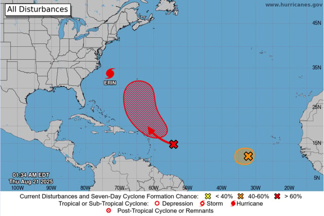
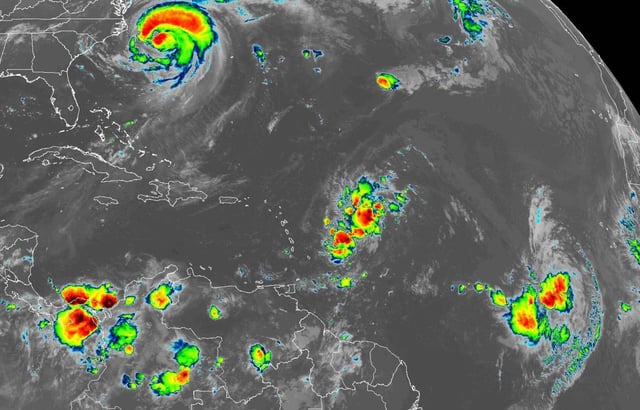
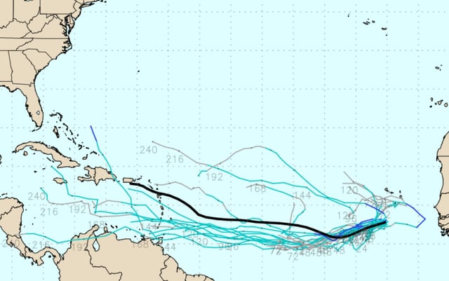
- The NHC is tracking a wave near the northern Leeward Islands with a 30% chance of formation in 48 hours and 70% in seven days, plus another wave west-southwest of the Cabo Verde Islands with a 40% chance over two to seven days; the next name would be Fernand, and NOAA now forecasts 13–18 named storms this season.