
Overview
- Life-threatening surf and rip currents are forecast from Florida to New England as Erin’s expansive wind field sends long‑period swells toward the coast, the National Hurricane Center warned.
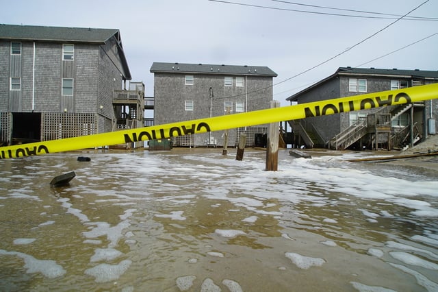
- Mandatory evacuations are in effect for Hatteras and Ocracoke, with overwash closing parts of N.C. 12 and officials cautioning that sections of the Outer Banks could be cut off by 15–20 foot waves and storm surge.
- New York state and Suffolk County shut ocean beaches to swimming, with Long Island facing widespread dune erosion and localized inundation up to about 2 to 2.5 feet during high tides.
- North Carolina mobilized 200 National Guard troops and swift‑water rescue teams, and officials reported dozens of rip‑current rescues as conditions deteriorated along the coast.
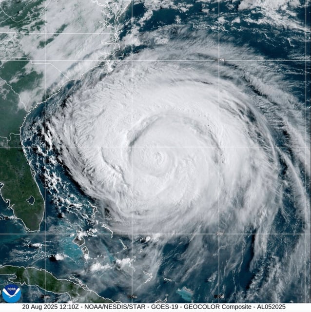
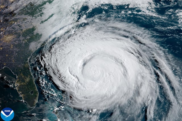
- Erin, near 110 mph and expected to pass between Bermuda and the U.S. coast, could briefly regain major‑hurricane strength before weakening and curving out to sea; swells will also affect Bermuda and Atlantic Canada after battering parts of the Bahamas and Turks and Caicos.