
Overview
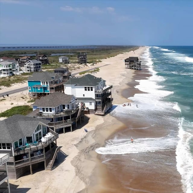
- Mandatory evacuations are in effect for North Carolina’s Hatteras and Ocracoke Islands, with tropical-storm and storm-surge watches posted for the Outer Banks and coastal flooding expected to begin Wednesday into Thursday.
- Breaking waves of 10 to 20 feet are forecast in surf zones from Florida to New England, with high surf advisories warning of dune erosion, overwash and potentially impassable roads in vulnerable areas.
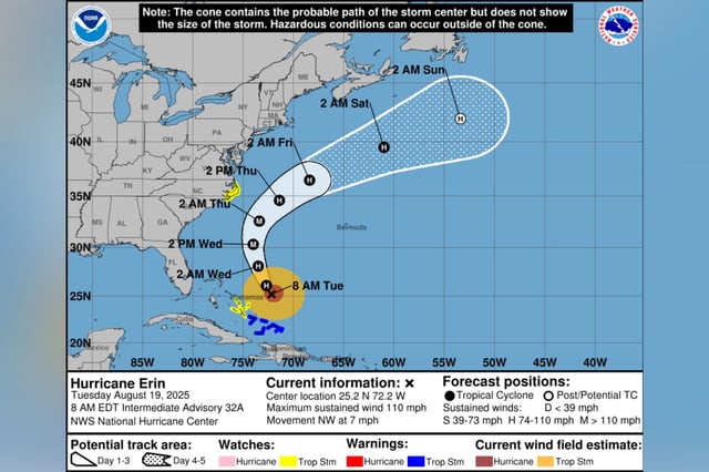
- Hurricane-force winds extend roughly 80 miles from Erin’s center and tropical-storm-force winds to about 205 miles, underscoring the storm’s unusually large footprint and broad coastal hazards.
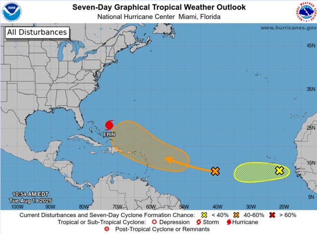
- Forecast guidance keeps Erin’s core passing between Bermuda and the U.S. coastline this week as a powerful hurricane, with intensity fluctuations possible but no U.S. landfall expected.
- Lifeguards report widespread rip-current rescues — about 144 at New Hampshire’s Hampton Beach and roughly 50 to 70 at North Carolina’s Wrightsville Beach — prompting beach closures and strong warnings to stay out of the water.