Overview
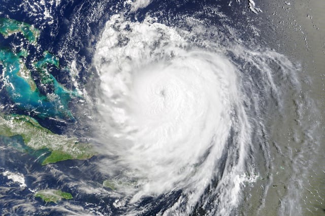
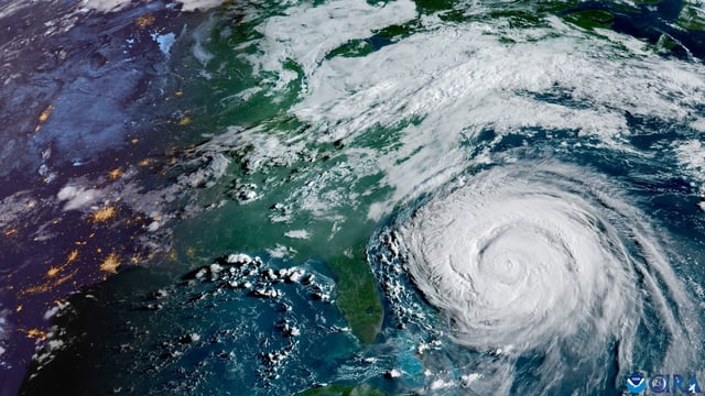
- As of early Thursday, Erin was about 205 miles east-southeast of Cape Hatteras with 105 mph winds, moving north-northeast and forecast to turn northeast, pass south of Atlantic Canada, and become post-tropical by Saturday.
- A storm surge warning of 2 to 4 feet is in effect from Cape Lookout to Duck, North Carolina, with a tropical storm warning from Beaufort Inlet, North Carolina, to Chincoteague, Virginia, and a tropical storm watch for Bermuda.
- Outer Banks impacts include flooding that closed portions of NC Highway 12 and cut access to Ocracoke’s ferry terminal, with the highest tides Thursday evening posing the greatest inundation risk.
- The large wind and wave field is producing dangerous rip currents and high surf from Florida to New England, prompting beach swimming closures in New York City and advisories across multiple Mid-Atlantic states.
- Forecasters are monitoring two Atlantic disturbances for development, including a wave east of the Leeward Islands with a 70% seven-day chance to form and another west-southwest of the Cabo Verde Islands with a 40% chance.


