Overview
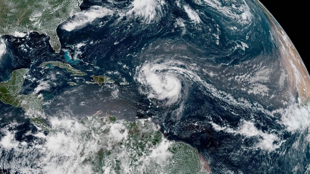
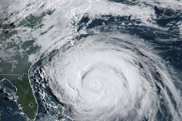
- Erin remained a large Category 2 hurricane Wednesday night with maximum sustained winds near 110 mph and tropical‑storm‑force winds extending roughly 500 miles from its center.
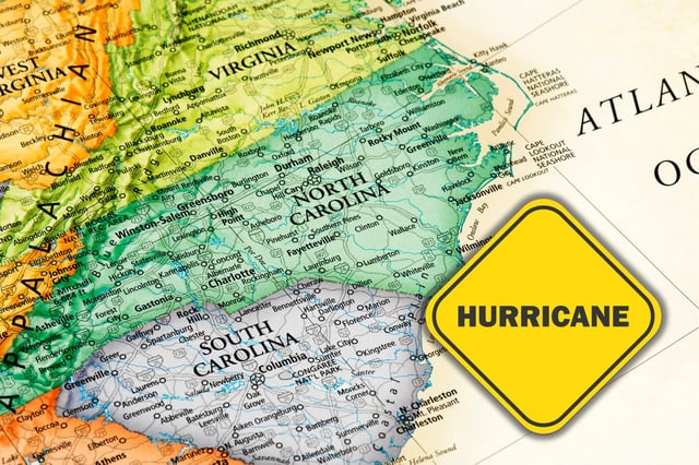
- Ocean overwash on North Carolina’s Outer Banks closed N.C. Highway 12 on Hatteras Island and cut Ocracoke’s ferry access as water pushed under beachfront homes.
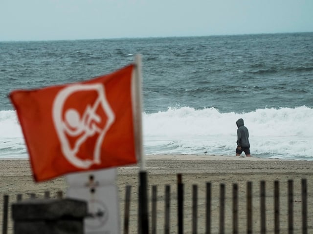
- The National Hurricane Center warns of dangerous surf, storm surge and rip currents from Florida to New England, with tropical‑storm conditions possible in parts of North Carolina and Virginia and hazardous seas near Bermuda.
- Mandatory evacuations are in place for Hatteras and Ocracoke, North Carolina is under a state of emergency, and New York City closed ocean swimming through Thursday with additional beach restrictions on Long Island and in nearby states.
- Forecasts call for a turn north then northeast with the center staying offshore, with forecasters noting possible short‑term strengthening before a gradual shift to a post‑tropical system over the North Atlantic this weekend.