Overview
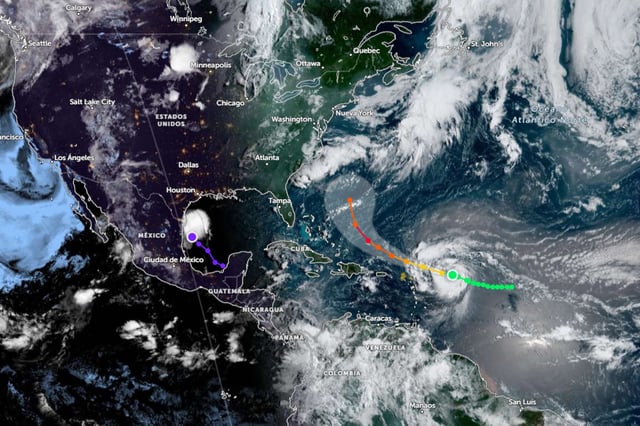
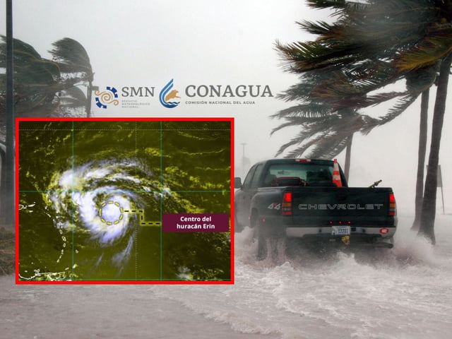
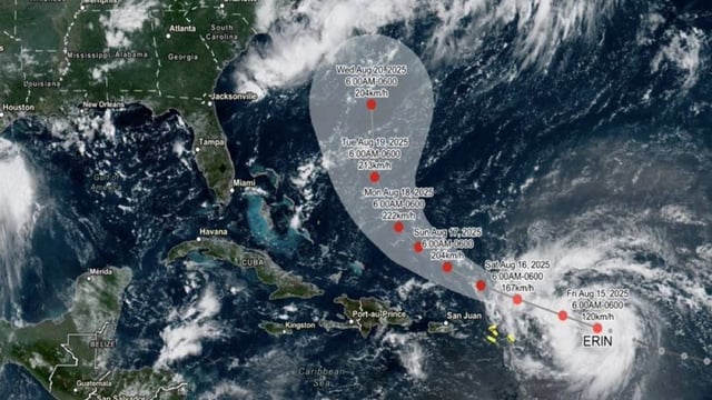
- Erin achieved Category 1 status Friday with sustained winds near 120 km/h while moving northwest at about 28 km/h several hundred kilometers east of the northern Leeward Islands.
- The National Hurricane Center projects the storm will strengthen into a hurricane Friday afternoon and intensify into a Category 3 major hurricane by Sunday morning.
- Tropical-storm watches cover parts of the northern Leeward Islands and alerts extend to Puerto Rico and the U.S. and British Virgin Islands for heavy rain, flash flooding and landslide risk this weekend.
- Forecasters warn that even if Erin stays offshore, its swells and storm surge could trigger dangerous surf, rip currents and coastal flooding from the Bahamas to the U.S. East Coast and Bermuda early next week.
- Model guidance begins to diverge after Monday, creating uncertainty over whether Erin will curve northeast offshore or track closer to the Bahamas and U.S. coastline.


