Overview
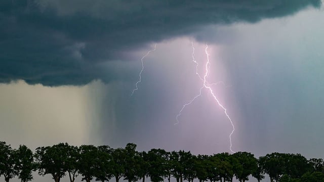
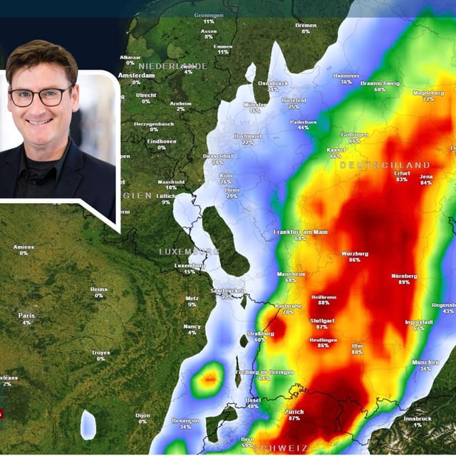
- Forecasters highlight Schwaben and parts of Bavaria and Baden‑Württemberg for the most intense developments, with storms spreading northeast through the night into Friday.
- Short‑term rainfall is expected to be heavy, commonly 15–25 l/m² and lokal bis 35–40 l/m² within a few hours, with isolated totals around 25 l/m² possible in just one hour.
- Gusts can reach strong to storm‑force levels in severe cells—up to about 80–110 km/h—alongside a risk of hail, according to the DWD.
- Reports note the potential for localized flooding such as waterlogged basements under these rain rates, and recent callouts in Oberschwaben followed earlier downpours this week.
- Conditions are forecast to stabilize from the west on Friday, and a short high‑pressure spell over the weekend could lift temperatures widely into the mid‑20s with some areas near 30 °C.


