

Overview
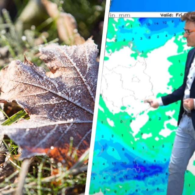
- DWD alerts highlight ground frost and local sub-zero nights in the coming days, with dense fog possible and a localized heavy-shower risk in Bavaria of around 15 l/m² in a short time.
- Provisional DWD September summary shows Germany warmer than average, with the Saarland recording its wettest September since 1881 and the sunniest conditions in the northeast.
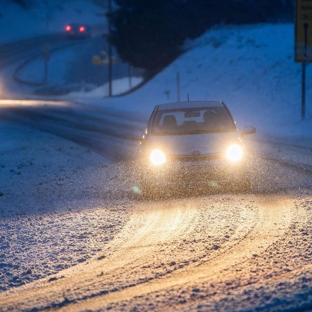
- A late-September cold intrusion brought unusual snow to the western Italian Alps down to roughly 1,550–1,600 meters, prompting closures of the Susten, Gotthard, Grimsel and Nufenen passes and long queues at the Gotthard tunnel.
- High Petralilly is expected to steer easterly polar air into Germany from about 2 October, favoring dry, clear days but widespread night frost and occasional mountain snow.
- Forecasters note that an Atlantic ex-hurricane (Humberto) could later induce a brief warm pulse with highs near 20 to locally 25 degrees, though this scenario depends on the storm’s track and remains uncertain.