
Overview
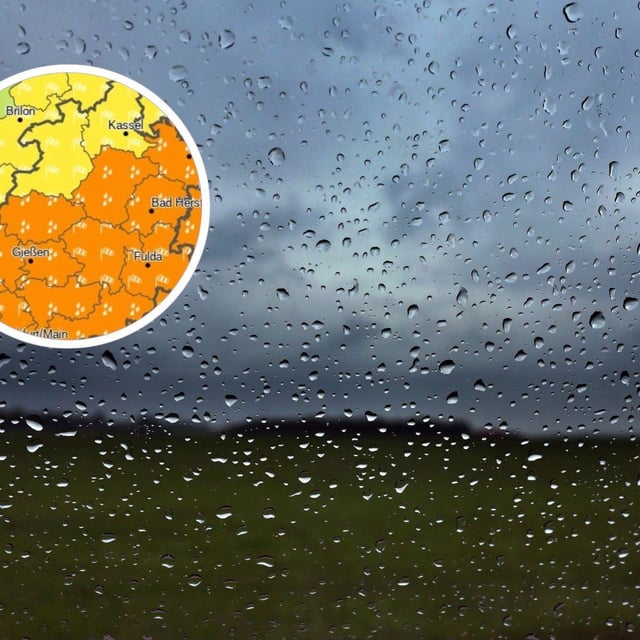
- Official warnings up to level 3 are in force for parts of Baden-Württemberg (Karlsruhe, Stuttgart), Unterfranken in Bavaria, Südhessen, Rheinland-Pfalz and the Saarland, with some areas under Alarmstufe Rot for ergiebigen Dauerregen.
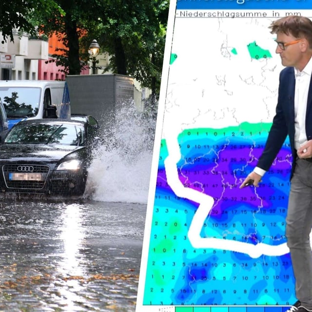
- Forecasts indicate widespread 30–80 l/m² with local peaks near 100 l/m², prompting guidance to avoid flooded roads and underpasses due to risks of overflows, full basements and landslides.
- Bavaria’s flood service reported gauges exceeding Meldestufe 1 earlier this week and said reaching Meldestufe 2 locally could not be excluded, with county alerts issued in Forchheim, Lichtenfels and Kulmbach before a fresh rain phase today.
- The DWD expects the snow line in the Alps to fall to about 1,800 meters with up to roughly ten centimeters of new snow in high terrain, while strong gusts are possible over eastern Bavarian uplands.
- Northern Germany is notably drier and sunnier under strengthening high pressure, and forecasters say the wetter south and west should see a gradual easing toward the weekend as High Petralilly builds; climate experts at the Extremwetterkongress warn such extremes are becoming more frequent with warming.