Overview
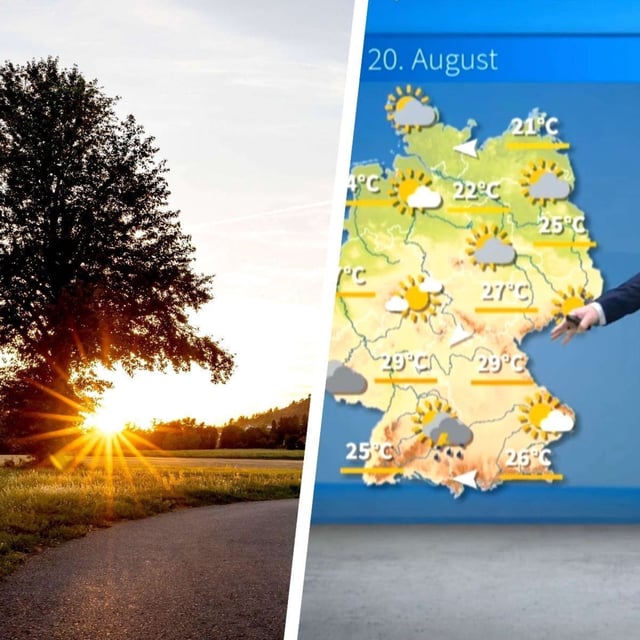
- DWD alerts highlight showers, thunderstorms and locally extreme rainfall focused on the south and southwest, while many other regions remain comparatively quiet.
- In the southern third of Baden‑Württemberg, isolated storms could deliver 80 to 100 liters per square meter in roughly ten hours, heightening flash‑flood risk.
- Südschwarzwald, Oberschwaben, Westalb and the Alpine foreland face the highest danger from Wednesday afternoon into Thursday, with hail and gusts up to about 70 km/h possible.
- The heaviest rain shifts into southern Bavaria and the Alps on Thursday and eases overnight, with Friday turning sunnier for many areas but cooler at roughly 17–23°C.
- A cooler polar air mass spreads into the weekend with some unsettled weather in the north, while the southwest trends drier and temperatures likely edge up again next week, according to DWD.


