

Overview
- Rain chances increase Monday with the most widespread activity expected Tuesday into Thursday, and some areas in the Ohio Valley and Appalachians flagged for Impact Days.
- Localized downpours could deliver around 1 to 2 inches where storms persist, with uneven totals and a low-end risk for gusty winds in stronger cells.
- Many regions have been running unusually dry, including parts of Michigan and Ohio, where forecasters frame the coming rain as beneficial though not guaranteed for every community.
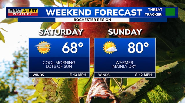
- Northern New England stays cool and dry through early week with frost and elevated fire danger in spots before shower chances return Tuesday into Wednesday.
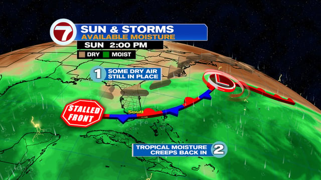
- Tropical Storm Gabrielle is forecast to pass east of Bermuda early next week with no U.S. land threat, though onshore northeast winds are maintaining a moderate rip current risk along some Atlantic beaches.