Overview
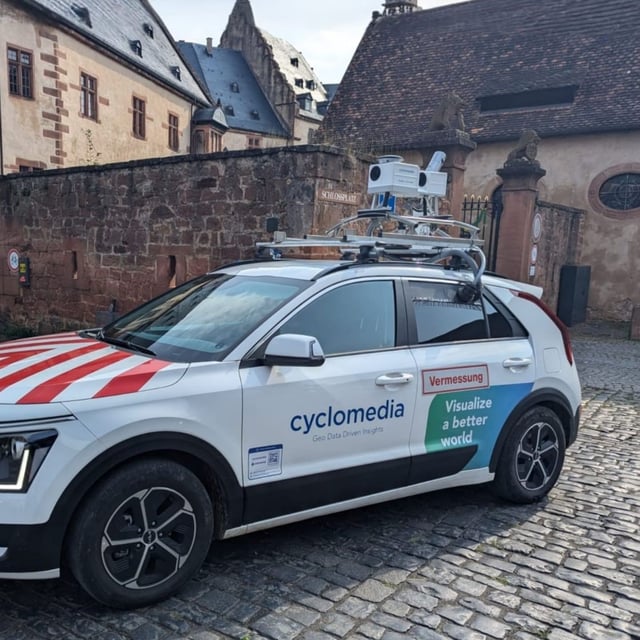
- Cyclomedia Deutschland began street-level scanning in Altstadt, Blasewitz, Leuben, Plauen and Prohlis on August 4 with data collection set to continue through early September
- Equipped with cameras and laser scanners, the vehicles capture precise geospatial data to construct a detailed topographic model
- The initiative is part of Smart City Dresden’s model project to enhance urban planning tasks such as barrier-free infrastructure, transport network design and emergency response
- Captured images undergo real-time anonymization with faces and license plates blurred and will be used exclusively by municipal departments
- René Herold of the Dresden Environment Office says the new surface model will enable more reliable stormwater risk analysis and strengthen city resilience
