

Overview
- The Department of Defense announced it will stop ingesting, processing and transmitting real-time SSMIS microwave data from three aging DMSP satellites, and NOAA confirmed the service change notice making the cutoff permanent on June 30, 2025.
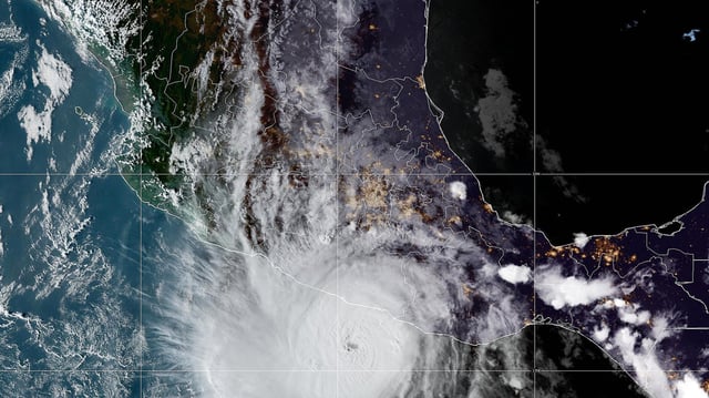
- SSMIS microwave scans account for roughly half of all forecasters’ interior storm observations, offering critical insights into hurricane structure and rapid intensification, especially overnight.
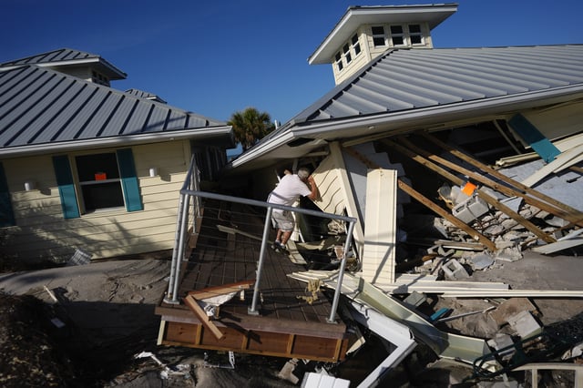
- Experts warn that losing these feeds will degrade forecast accuracy, raise the risk of missed rapid intensification events and reduce lead time for emergency warnings.
- Although the Weather System Follow-on Microwave (WSF-M) satellite launched in 2024, its data remains unavailable to forecasters with no clear timeline for replacement.
- The data termination compounds earlier NOAA and National Weather Service budget cuts and staffing shortages that have already curtailed weather balloon launches and strained broader climate monitoring, including polar sea ice tracking.