

Overview
- On June 30, the DoD and NOAA will permanently cease processing and distributing microwave data from three aging DMSP satellites, cutting off a key real-time feed for hurricane analysis.
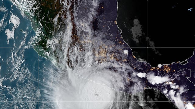
- Meteorologists warn that without under-cloud microwave imagery—especially at night—rapid intensification and eyewall formation could go undetected until daylight.
- National Hurricane Center staff are preparing to forecast this season without the SSMIS data stream, a change experts say will degrade predictions for tens of millions along U.S. and Canadian coasts.
- NOAA spokesperson Kim Doster described the termination as a routine data rotation and replacement, asserting that remaining satellite, aircraft, radar, and model inputs will sustain forecast quality.
- A replacement microwave satellite, WSF-M, was launched in 2024 but remains inaccessible to forecasters, leaving uncertainty over when its data will fill the gap.