Overview
- DLR analyzed monthly Sentinel‑2 and Landsat 8/9 data to map crown‑loss at roughly 10‑meter resolution from 2017 to 2024.
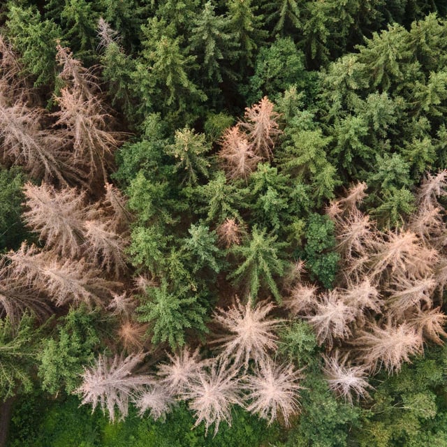
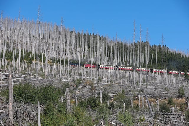
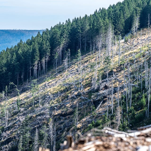
- The dataset shows losses above 900,000 hectares—about 8.5% of national forest area—with the rate nearly doubling after 2021.
- Hotspots include the Harz, Südwestfalen, southeast Thuringia and the Saxony–Czech border, with some municipalities exceeding 50% loss, such as Oberharz am Brocken (>61%).
- Droughts, heatwaves, storms and bark‑beetle outbreaks are identified as key drivers, and the maps also capture salvage and sanitary felling.
- Totals surpass estimates from Thünen (~490,000 ha) and forest owners (~600,000 ha) because very young regrowth is not yet detectable, and EO Wald now opens the time series to managers and policymakers.