
Overview
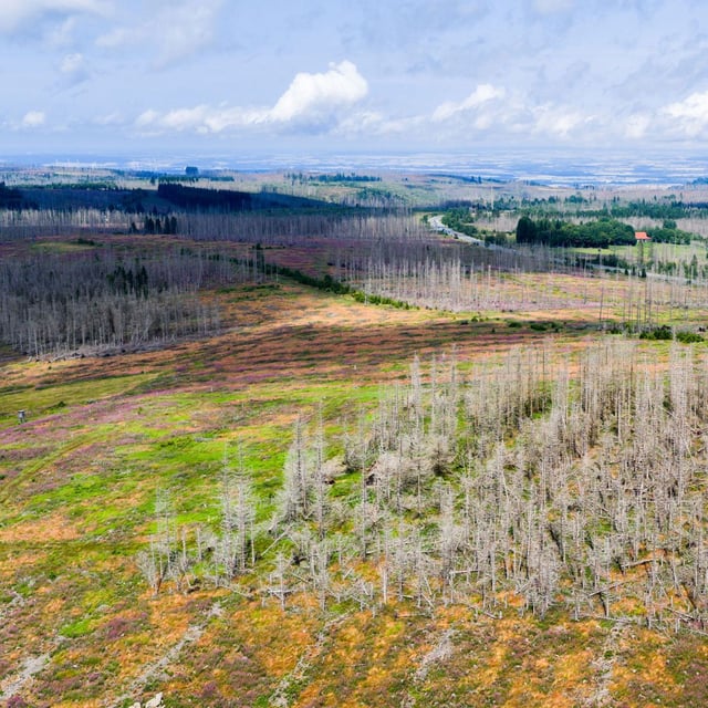
- The satellite analysis covers autumn 2017 through 2024 and identifies more than 900,000 hectares of canopy loss nationwide.
- DLR reports that losses have nearly doubled since 2021, indicating a rapid acceleration in forest decline.
- Hotspots include the Harz, Südwestfalen and southeast Thuringia, with crown loss near 45% in Sonneberg and around 36% in Oberbergisches Land and Landkreis Harz.
- DLR leadership links the damage to repeated droughts, heatwaves, storms and pest infestations over recent years.
- The dataset does not yet reflect very young regrowth, as seedlings remained below satellite detection thresholds during the study period.