Overview
- The broad area of low pressure in the northern Gulf remains disorganized, with the National Hurricane Center assigning just a 30% chance of tropical development over the next seven days.
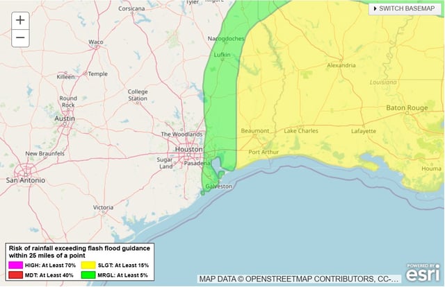
- Flood watches are in effect through Friday night as forecast models call for 4–6 inches of rain in southern Louisiana—locally as much as 8–10 inches—and 1–3 inches in eastern Greater Houston.
- Southern Louisiana sits under a level 3 of 4 risk for flash flooding, while the Houston metro area faces a level 1 risk, with heavy downpours likely to cause localized street and urban flooding.
- Gov. Greg Abbott has activated Texas state emergency resources, and local authorities have begun distributing sandbags and issuing flood watches in flood-prone communities.
- The disturbance is expected to turn northward into Louisiana by Saturday and weaken to scattered showers as it moves inland and loses its tropical moisture source.