Overview
- Tropical Storm Lorena could strengthen to a hurricane west‑southwest of Baja California Sur, with SMN warning that its circulation, the Mexican monsoon and an upper trough will trigger very strong to intense rains in the northwest and west.
- Conagua detailed state‑by‑state risks for Sept. 3, including 75–150 mm in parts of Baja California Sur, Sonora, Chihuahua, Durango and Sinaloa, with additional heavy to very heavy totals expected across Baja California, Zacatecas, Aguascalientes, Guanajuato, State of Mexico, Puebla and Pacific states.
- Mexico’s Frontal System No. 1 remains stationary over the northeast with 40–60 km/h gusts and showers or strong rains in Coahuila, Nuevo León and Tamaulipas, while Tropical Wave No. 30 and a low‑pressure channel enhance strong rains from the south and southeast into central and eastern zones including CDMX and Edomex.
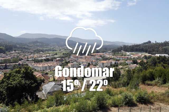
- AEMET‑based forecasts for Sept. 4 in Galician towns call for near‑certain light, low‑accumulation morning rain with high humidity and southerly winds gusting roughly 25–30 km/h, followed by gradual improvement later in the day.
- Argentina’s SMN reports a dry, cold turn: Santa Fe holds near 5–12 °C with no precipitation or local alerts, and the Buenos Aires metro expects clear to partly cloudy skies with lows near 1–3 °C and daytime highs around 11–13 °C.


