Overview
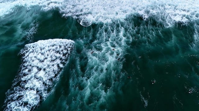
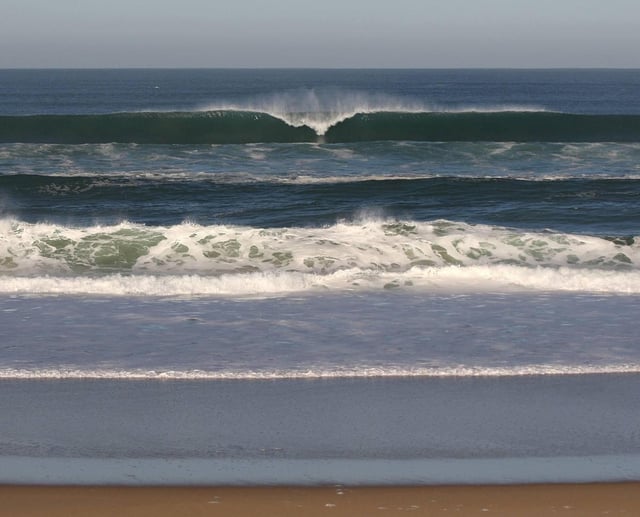
- Météo-France expects energetic swell with 4 to 5 meter waves along the Atlantic seaboard and western Channel in the Tuesday–Wednesday window, with peak high-tide impacts in the morning in Brittany and in the evening in Aquitaine.
- Yellow wave–submersion alerts are in effect Tuesday for Côtes-d’Armor, Finistère, Charente-Maritime, Gironde, Landes and Pyrénées-Atlantiques, and the Atlantic maritime prefecture has issued a prudence message.
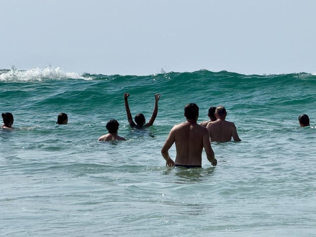
- Rescue services caution that long lulls can be misleading and that waves may suddenly sweep the shoreline; bathing bans or beach closures may be imposed as conditions worsen.
- Nouvelle-Aquitaine faces a maximum rip-current (baïnes) alert on Tuesday, and site-specific forecasts point to peaks near 4.3 m at Biscarrosse and La Salie, around 4.1 m at Labenne, about 4.0 m at Grand Crohot and roughly 3.7 m at Mimizan.
- Offshore models indicate open-ocean heights near 8 m before coastal attenuation, and conservation teams at the Banc d’Arguin have taken precautions, citing erosion risks and possible submersion.