Overview
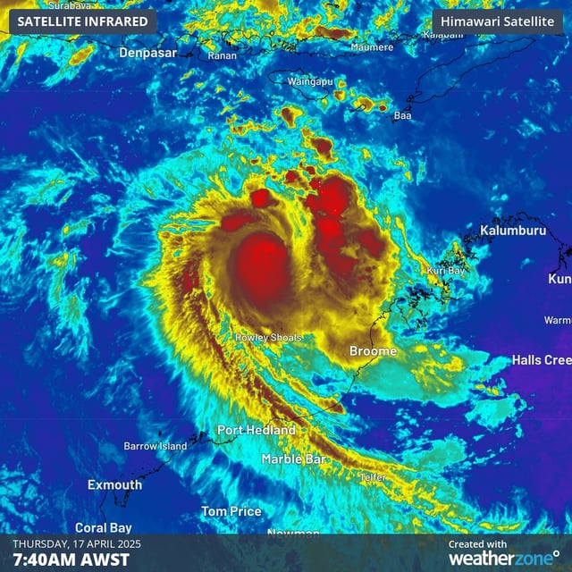
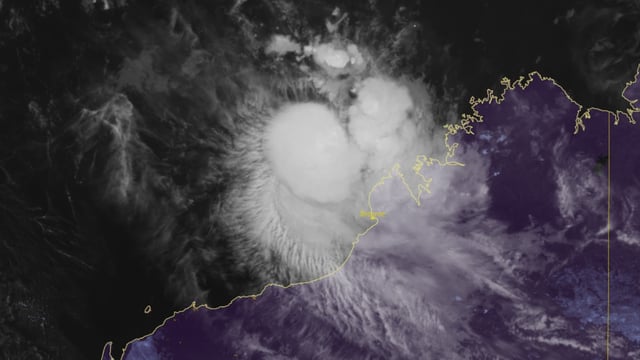
- Tropical Cyclone Errol, currently a Category 3 system, is located 295 km northwest of Broome, moving southeast at 14 kph with gusts up to 155 kph.
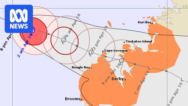
- The storm is expected to brush the Dampier Peninsula as a Category 1 cyclone on Friday afternoon before crossing the coast north of Derby as a tropical low later that evening.
- Authorities have issued warnings for destructive wind gusts up to 140 kph, heavy rainfall between Kuri Bay and Broome, and tides rising above normal high tide levels.
- Remote communities, including Ardyaloon and Djarindjin, are preparing for severe weather, with plans to evacuate vulnerable residents such as elders if necessary.
- Errol rapidly intensified to a Category 5-equivalent cyclone on April 16 before weakening due to wind shear and dry air, marking the first such cyclone globally in 2025.