

Overview
- Overnight lightning and downpours hit Southern California, with Ventura seeing strikes as the cut‑off low moved north and expanded showers into the Central Coast and Bay Area.
- Central Coast forecasters call for wet thunderstorms and locally up to about an inch of rain in the Santa Lucias, while a drier lower atmosphere brings a dry‑lightning wildfire risk in parts of the Bay Area.
- Bay Area highs tumble roughly 20 degrees from Tuesday’s heat as clouds and cooler marine air arrive, with scattered storms possible through Thursday morning.
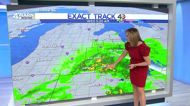
- Ahead of an advancing front, storms are forecast from the Gulf Coast to the Southeast and Mid‑Atlantic, including Atlanta where gusts could reach about 60 mph and a second round is likely Thursday.
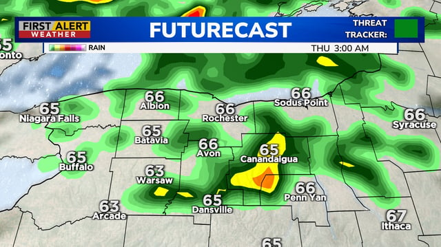
- Showers and thunderstorms are expected across the Midwest and Northeast into Thursday—Maine could see 1–2 inches—before lower humidity and more seasonable, drier conditions spread in Friday into the weekend.