


Overview
- Daytime highs will range from 20 °C to 25 °C in northern regions and 25 °C to 30 °C in the south, keeping most areas at or below seasonal averages.
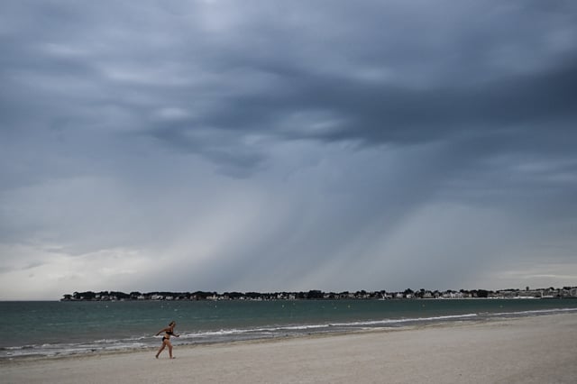
- Intermittent showers are expected to advance over northern France on Tuesday and Wednesday under cool marine air, with a temporary lull on Thursday before rainfall returns late in the week.
- Strong southeast winds early this week will sustain a critical wildfire risk around the Mediterranean coast, though wind speeds are forecast to ease by Tuesday.
- Forecast confidence declines sharply after Friday, creating growing uncertainty for weekend conditions and any potential heat rebound before August 5.
- The cycle of cool, unstable weather fits within France’s normal summer rhythm of alternating cool and warm spells rather than signalling an unusual anomaly.