
Overview
- The Met Office issued yellow warnings for rain and wind over the weekend, warning of 20–30mm widely and up to 60–80mm in parts of Wales and northern England.
- Sunday turns drier and sunnier for many with cooler daytime highs near 15C and notably chilly mornings after the recent mild spell.
- There is a chance of snow on only the very highest mountain peaks as the cooler air mass moves in from the north.
- The official long‑range outlook for September 24 to October 3 favors high pressure at first with widely settled conditions, patchy night fog or frost, and some early‑week showers in East Anglia and the southeast.
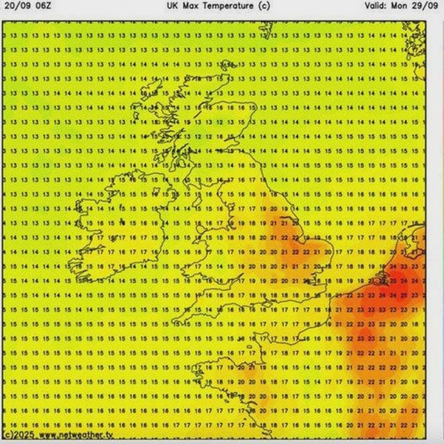
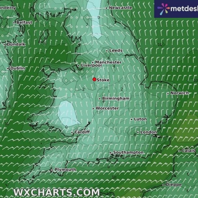
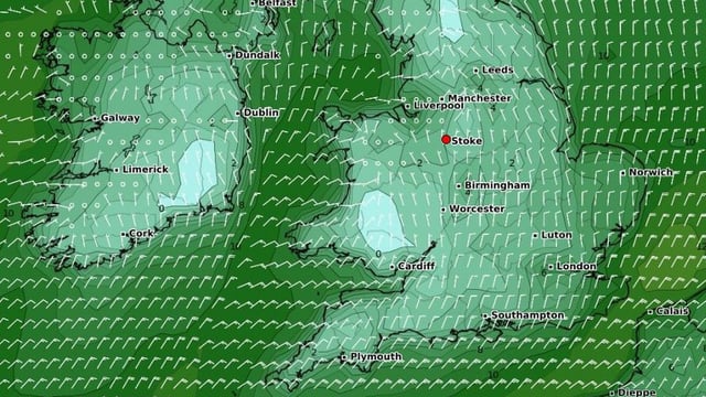
- Private model maps diverge, with Netweather.tv suggesting around 22C in parts of England on September 29 and WXCharts indicating a large Atlantic storm around September 27, though the Met Office says confidence in any shift is very low.