Overview
- Authorities in Mexico City issued an 18:00 Aug 15 storm warning as heavy Monzón Mexicano rains and Tropical Wave 22 continue to soak the Valley of Mexico, raising flood risks.
- Floodwaters have inundated neighborhoods up to a meter deep and prompted a temporary closure of Metro Potrero station in CDMX alongside advisories to avoid flooded crossings and unsafe shelter during storms.
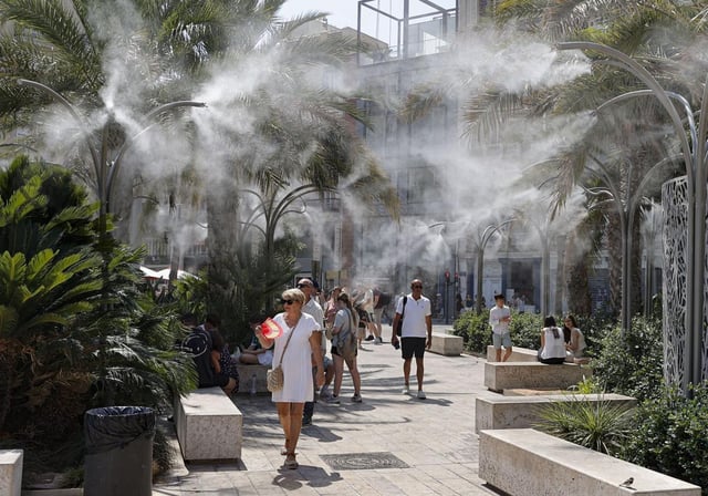
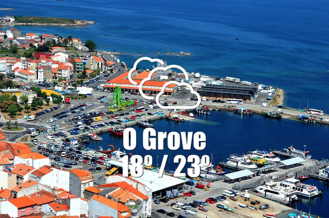
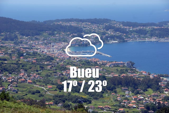
- Spain’s Agencia Estatal de Meteorología forecasts zero precipitation and highs near 35 °C in Barcelona with maximum temperatures between 23 °C and 31 °C across Galicia on August 16 under a strong anticyclonic ridge.
- The Servicio Meteorológico Nacional projects a 7 °C–18 °C range for Santa Fe with stable skies, while the Greater Buenos Aires area warns of cloudy, cooler conditions, isolated shower risk and a cyclogenesis alert for possible gusty winds.
- Three distinct systems—the Monzón Mexicano with a low-pressure channel in Mexico, a Saharan-air-driven anticyclone over Spain and a polar pulse in Argentina—are driving the region’s divergent forecasts.


