Overview
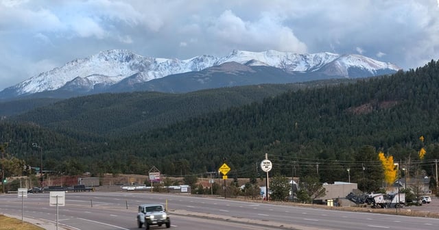
- Winter storm warnings are in effect for Colorado's high elevations, with forecasts predicting 12–24 inches of snow and winds up to 35 mph above 10,000 feet.
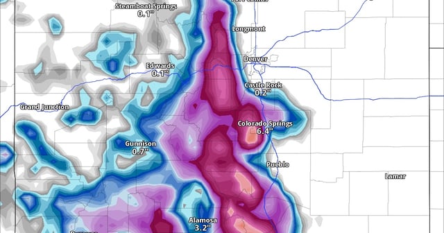
- The heaviest snowfall is expected through Tuesday night, with areas like Pikes Peak and the Sangre de Cristo Mountains potentially receiving up to 30 inches of snow by Thursday.
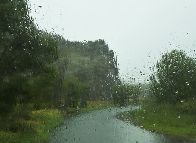
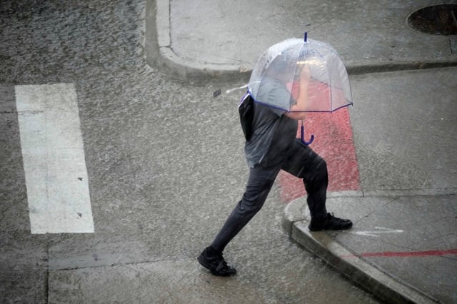
- Lower elevations, including Colorado Springs and the Arkansas River corridor, are experiencing steady rain with totals of 1–3 inches, prompting localized flood advisories.
- Travel conditions are hazardous in mountain passes, with slick roads and potential whiteout conditions leading officials to advise against non-essential travel.
- The storm is expected to taper off by Wednesday, but residents are urged to monitor updates and prepare for potential power outages and continued disruptions.