Overview
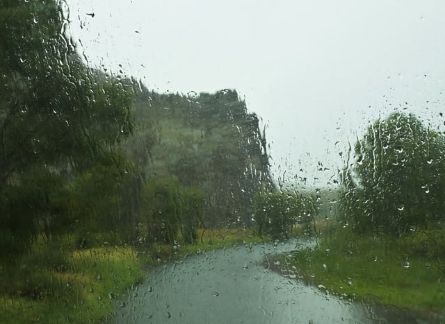
- The spring storm began Monday morning in southern Colorado, with rain and thunderstorms spreading north to Denver by the afternoon.
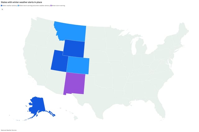
- Mountain areas above 9,000 feet are under Winter Storm Watches, with up to 2 feet of snow expected by Wednesday, particularly in Rocky Mountain National Park and Summit County.
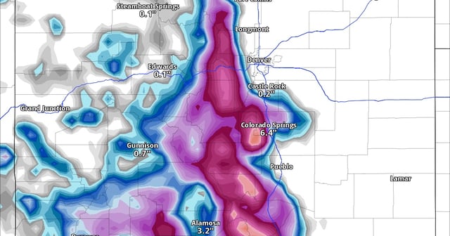
- Lower elevations along the Front Range and Eastern Plains will see multiple rounds of rain and thunderstorms, with the heaviest precipitation forecast for Tuesday.
- Travel conditions on key mountain routes, including Berthoud Pass and Interstate 70, are hazardous due to snow and wet conditions, with disruptions expected through Wednesday.
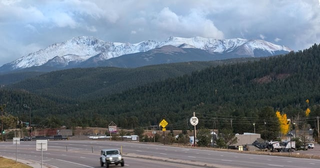
- Snow levels are expected to drop from 9,000 feet to as low as 7,000–8,000 feet during heavier showers, with significant snowfall also forecast for the Pikes Peak region.