

Overview
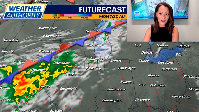
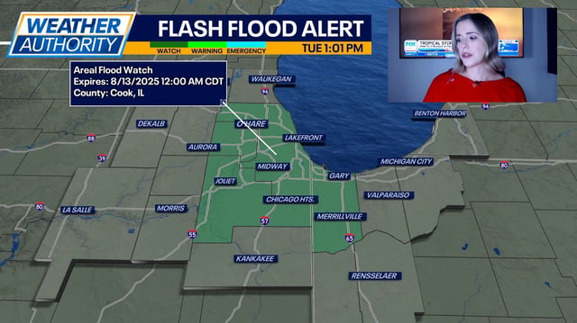
- Scattered to lineal thunderstorms are developing across Michigan and the Chicago area this afternoon with localized wind gusts reaching 50–60 mph.
- The Storm Prediction Center has placed much of Michigan and parts of northeast Illinois in a marginal severe-weather risk focused on damaging winds and heavy rainfall.
- Morning storms prompted Federal Aviation Administration ground stops at O’Hare and Midway airports, and local National Weather Service offices issued strong-storm warnings in counties such as Alpena.
- An Air Quality Advisory remains in effect in parts of Michigan due to smoke from Canadian wildfires as heat-index values linger in the mid-90s.
- Forecasts show the front moving south of Michigan by Wednesday morning to deliver cooler, less humid air before another warm-up returns later in the week.