


Overview
- A cold front is moving through Saturday night into Sunday with only a broken, low-coverage line of showers and a few rumbles of thunder expected.
- Behind the front, a significantly cooler pattern arrives early next week with highs holding in the upper 60s to near 70 and dew points dropping into the 40s and 50s.
- Overnight lows could fall into the 40s in parts of Northeast Ohio Tuesday and Wednesday nights, accompanied by brisk west to northwest winds.
- Lake Erie conditions are likely to worsen early next week, with small craft advisories and beach hazard statements expected and lake‑enhanced showers possible.
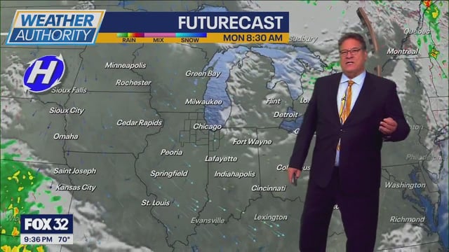
- A similar setup is unfolding across the Chicago area and much of the Midwest, with mostly dry weather, lower humidity, and cooler mornings as temperatures step down through early week.