Overview
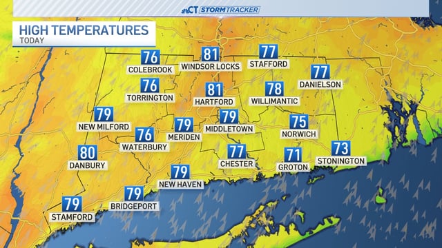
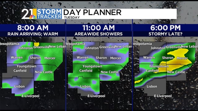
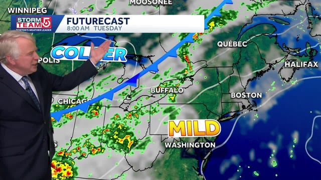
- After highs in the upper 70s to mid-80s, a fast-moving front will spread widespread showers overnight into the morning commute.
- Rainfall is generally expected to total 0.25 to 1 inch with localized higher amounts and a few non-severe rumbles of thunder, offering help but not ending drought deficits.
- Showers will taper from west to east by late morning to midday with partial clearing and a refreshing northwest breeze.
- Much cooler air follows, with highs falling into the 50s and 60s and inland lows dipping into the 30s later this week, raising a frost risk.
- The Harvest supermoon will elevate astronomical tides from Wednesday through Saturday, bringing minor splash-over in typical low-lying coastal spots.


