Overview
- The National Weather Service says a closed low just off the Oregon–Washington coast will keep the region cooler and cloudier through the weekend.
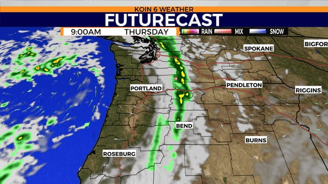
- Showers increase Friday with the most widespread precipitation Saturday into Sunday across western Oregon.
- NWS guidance lowers snow levels to around 4,000 feet Saturday night into Sunday, with a rain–snow mix possible near 3,500–4,000 feet and pass impacts possible into early Monday.
- KTVZ’s local forecast has snow levels above 5,000 feet at times, highlighting uncertainty over which mountain roads will see accumulating snow.
- Weekend totals are projected near 0.50–0.75 inches in lowlands, up to about 1.5 inches along the coast and Coast Range, and around 2 inches in the Cascades, with highs slipping into the 40s and 50s.