Overview
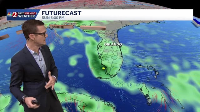
- Onshore winds keep scattered coastal showers and pockets of heavy downpours in the forecast for Florida and parts of the Southeast into early week.
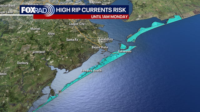
- High surf of 5–8 feet, life‑threatening rip currents and Small Craft Advisories continue, with hazardous boating likely through at least Monday.
- Coastal flooding risk peaks around Tuesday along the Georgia and South Carolina coasts, with tides near 9.9 feet capable of inundating vulnerable roads.
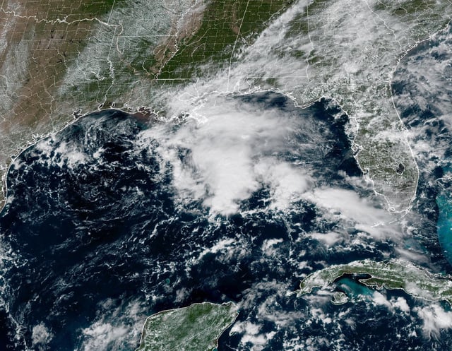
- A weak low in the northern Gulf spreads moisture with 1–3 inches of rain possible in southeast Louisiana and south Mississippi, while the NHC holds development odds at 0%.
- Invest 95L in the eastern Atlantic carries roughly a 60–70% seven‑day formation chance, and a Wednesday cold front is expected to deliver the most widespread rain before a cooler, drier late‑week turn.