
Overview
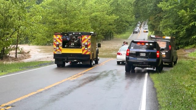
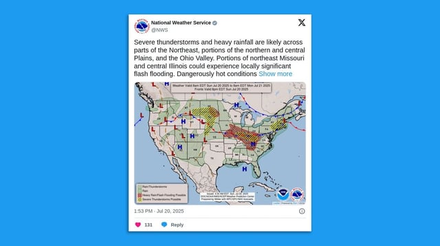
- On Sunday flash flooding struck parts of Iowa, prompting a flash flood warning in Des Moines and flood watches now spanning from Missouri to West Virginia, including Indianapolis and Cincinnati.
- More than 50 million residents from Kansas to the Carolinas remain under extreme heat alerts with heat indices reaching up to 110°F.
- Forecasters attribute the overlapping hazards to a persistent high-pressure dome over the Southeast that traps storms in a “ring of fire” formation around its edge.
- Saturated soils from earlier downpours have intensified flash flood risks, with portions of Kentucky, Indiana and Illinois facing moderate excessive rainfall threats of 3 to 5 inches.
- Severe thunderstorm and tornado watches are active across the Plains and Northeast, carrying threats of damaging winds, large hail and isolated tornadoes.