Overview
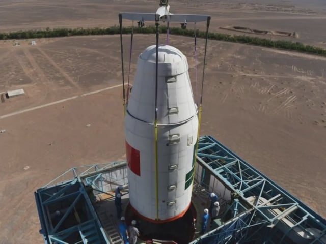
- PRSS-01 reached its preset orbit shortly after liftoff on July 31 and all onboard systems are operating nominally.
- The high-resolution remote sensing satellite will support national land surveys, urban planning and environmental monitoring in Pakistan.
- It is expected to improve Pakistan’s response to climate-related threats such as floods, glacier melt and deforestation.
- Engineers from Pakistan’s SUPARCO and China’s space agency collaborated on the satellite’s development and launch under the URAAN Pakistan Space Program.
- The mission underscores the deepening strategic and technological space partnership between Pakistan and China and advances Pakistan’s National Space Programme 2047 goals.
