Overview
- A Tornado Watch issued by the National Weather Service remains in effect across much of Chicagoland until 11 p.m. Friday.
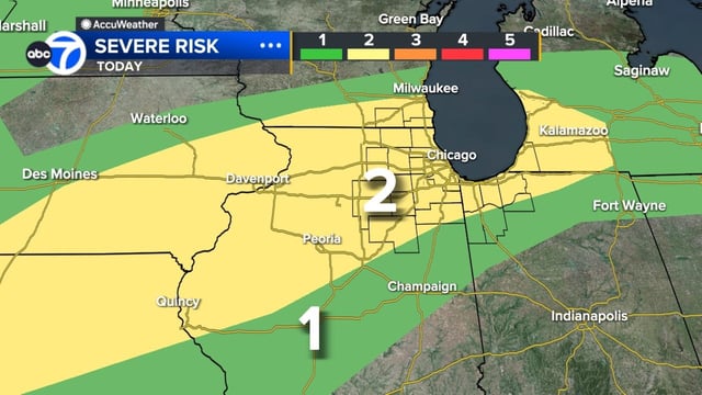
- The Storm Prediction Center has upgraded Kane, Kendall, Grundy, DeKalb and LaSalle counties to an enhanced risk for severe weather.
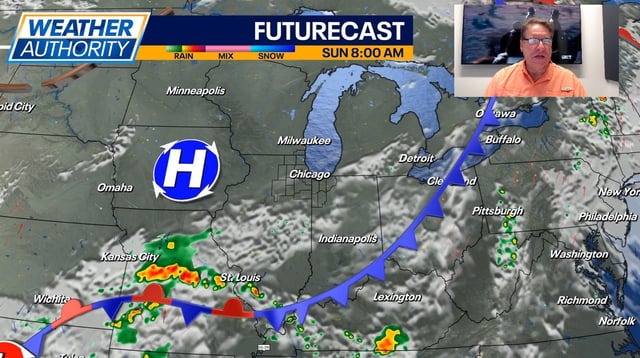
- Meteorologists forecast the main band of storms to arrive from the west around 5 p.m. and track eastward through the 11 p.m. window.
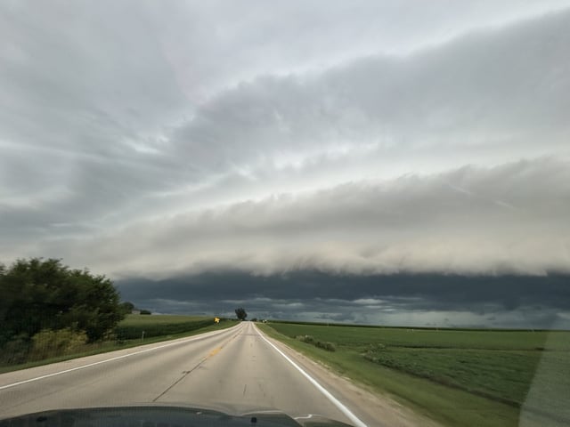
- Forecasters warn that the evening storms could bring damaging winds, large hail, isolated tornadoes and torrential rain capable of flash flooding.
- Warm, humid conditions in the mid-to-upper 80s are expected to persist into Saturday with additional scattered thunderstorms possible.


