Overview
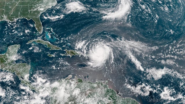
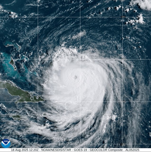
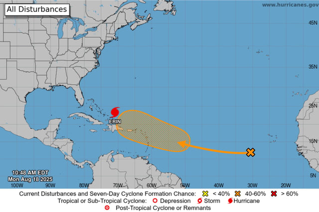
- The National Hurricane Center said Erin is a Category 4 hurricane with sustained winds near 130 mph, and its track is expected to pass between the U.S. and Bermuda.
- Dare County declared a state of emergency and ordered mandatory evacuations for Hatteras Island, with Hyde County issuing the same for Ocracoke, as coastal flooding is expected to begin Tuesday and persist through Thursday.
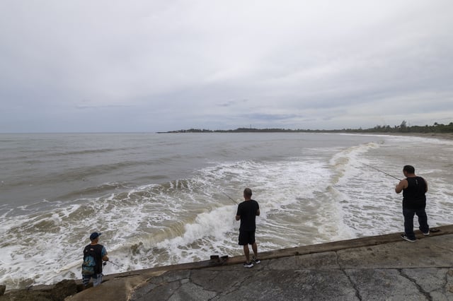
- Forecasters warn of life‑threatening surf and rip currents from the Bahamas and Bermuda to much of the U.S. East Coast and Atlantic Canada, with Outer Banks impacts peaking Wednesday night into Thursday.
- Breaking waves of 15–20 feet could overtop dunes, flood communities and render portions of North Carolina Highway 12 impassable for days; coastal flood and storm surge watches cover parts of the NC coast.
- Erin’s outer bands have already soaked Puerto Rico and the U.S. Virgin Islands, causing power outages for about 147,000 customers, while tropical storm warnings and watches remain in effect for the Turks and Caicos and parts of the Bahamas.