Overview
- As of early Tuesday, Erin was a Category 3 with 115 mph winds about 750 miles south-southeast of Cape Hatteras, moving northwest before turning north along a path roughly midway between the coast and Bermuda.
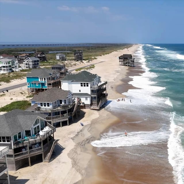
- North Carolina ordered evacuations for Hatteras and Ocracoke as the National Hurricane Center posted a storm surge watch from Cape Lookout to Duck and a tropical storm watch from Beaufort Inlet to Duck, with coastal flooding expected from Tuesday through Thursday.
- The hurricane’s wind field is growing substantially, with hurricane-force winds reaching about 80 miles from the center and tropical-storm-force winds 205 miles, which could push stronger gusts toward the Mid-Atlantic and southern New England later this week.
- The National Weather Service warns of life-threatening surf and rip currents along much of the East Coast, including destructive 10 to 20 foot breakers on the Outer Banks, beach rescues and closures in the Carolinas and New Jersey, and high surf in Florida despite minimal wind impacts.
- Forecasters are also tracking two Atlantic disturbances with about a 60% and 30% chance of development over seven days, with one potentially nearing the eastern Caribbean by Friday.


