
Overview
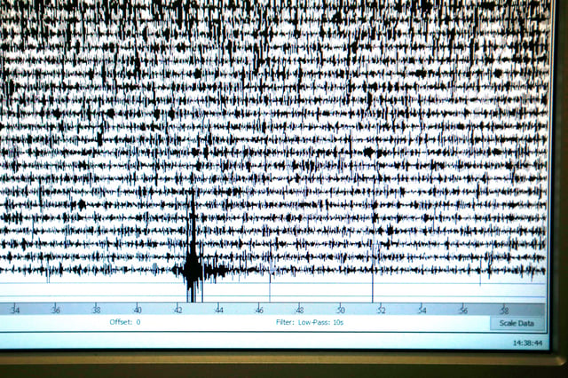
- A magnitude 8+ earthquake on the Cascadia Subduction Zone could cause coastal land to sink by up to 6.6 feet within minutes, drastically increasing flood risk.
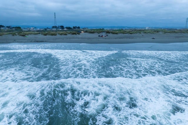
- The April 2025 study estimates that 116 square miles of new floodplain would be created instantly, endangering over 22,000 residents, nearly 36,000 structures, and 1,200 miles of roadway.
- By 2100, combined effects of earthquake-driven subsidence and sea-level rise could triple flood-prone areas, expanding floodplains by up to 145 square miles.
- Researchers stress the need to include earthquake-induced subsidence in hazard models and adaptation plans, alongside climate-driven sea-level rise.
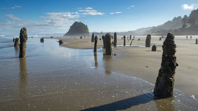
- Historical data from the 1700 Cascadia earthquake and similar events highlight the long-term impacts of sudden land sinking on coastal communities and ecosystems.